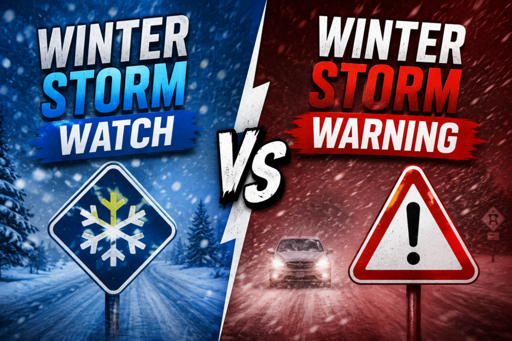
If you just got a phone alert about a winter storm watch or warning and you’re not totally sure what it means for your evening commute, your kids’ school, or whether you need to hit the grocery store right now, you’re not alone. Most people hear these terms every winter and still couldn’t explain the winter storm watch vs warning difference if asked (2).
Here’s the short version: a watch means “get ready, this might happen.” A warning means “it’s happening, or about to.” That’s the core idea behind every winter alert issued by the National Weather Service in the US, Environment and Climate Change Canada, and the UK’s Met Office. However, each country packages that idea a little differently, which is where a lot of confusion creeps in.
This guide breaks down exactly what triggers each alert in the winter storm watch vs warning system (3), how the US, Canada, and UK compare, and what you should realistically expect in terms of school and travel disruptions when one gets issued for your area.
Winter Storm Watch vs Warning: The Core Difference (4)
Think of it as a timeline of confidence. Forecasters don’t go from “nothing” to “danger” overnight. As a storm system develops and models start agreeing on its path, the National Weather Service moves through stages, and each stage tells you something different about how sure they are and how soon you need to act.
A winter storm watch means conditions are favorable for a significant winter storm, but there’s still real uncertainty about the exact timing, location, or amount of snow and ice. It’s issued when forecasters see at least a 50% chance of hazardous winter weather, usually 12 to 48 hours before it might arrive.
A winter storm warning means the dangerous weather is happening now or is expected within the next 12 to 36 hours, and forecasters have high confidence it will meet or exceed the criteria for a significant event. Strip away the technical language, and that’s really the entire winter storm watch vs warning logic in one sentence (5): uncertain and early versus confirmed and close.
What Triggers a Winter Storm Watch
Most NWS offices issue a watch when there’s a reasonable chance of:
- 5 or more inches of snow or sleet within 12 to 24 hours (thresholds vary slightly by region; some areas use 6 inches)
- Enough ice accumulation to threaten trees or power lines
- A dangerous combination of snow, ice, and wind
The key word is “chance.” A watch doesn’t guarantee the storm will happen as forecast. It’s your cue to check your supplies, fuel up the car, and keep an eye on updates, not to panic.
What Triggers a Winter Storm Warning
A warning is issued when that same hazardous weather becomes highly likely or is already underway, typically meaning:
- 6 or more inches of snow expected within 12 hours, or 8+ inches within 24 hours
- A half inch or more of ice accumulation
- Winds strong enough, combined with snow, to seriously limit visibility and make travel dangerous
If a watch gets upgraded to a warning, that’s forecasters telling you the uncertainty has cleared up, and not in a good way. Travel becomes difficult or impossible, and the NWS explicitly frames this as a threat to life and property, not just an inconvenience.
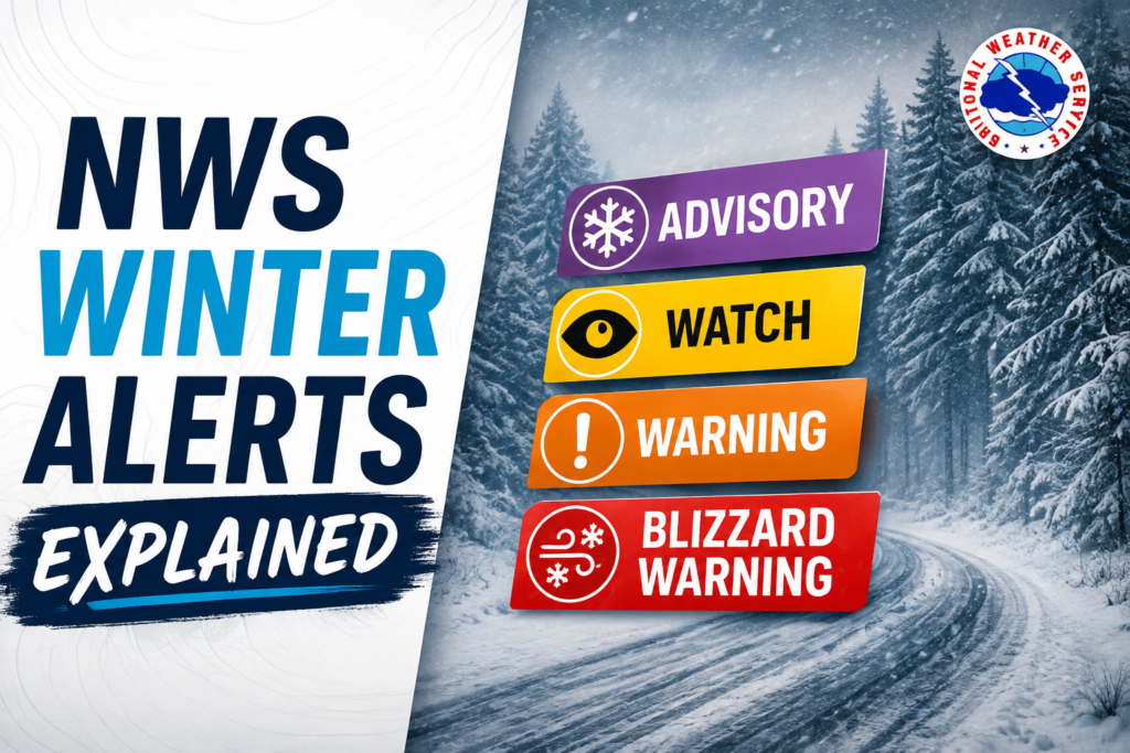
NWS Winter Alerts Explained: Advisory, Watch, Warning, Blizzard Warning
Watch and warning aren’t the only two terms you’ll see on a weather app. Before you can fully make sense of winter storm watch vs warning coverage on the news, it helps to see where each one sits inside the NWS’s broader alert family (6).
Winter Weather Advisory. This is the mildest of the group. It covers conditions that will cause inconvenience, and possibly some hazard, but nothing severe enough for a warning. Think 3 to 5 inches of snow, or light freezing rain. Your commute might be slower and messier, but it’s not expected to be dangerous.
Winter Storm Watch. Covered above. Conditions are favorable for a significant event, but timing or amounts are still uncertain.
Winter Storm Warning. Also covered above. A significant, hazardous event is happening or about to happen, with high confidence.
Blizzard Warning. This is a step above a standard winter storm warning, and it’s specifically about visibility and wind, not just snow totals. It’s issued when sustained winds or frequent gusts of 35 mph or greater combine with falling or blowing snow to cut visibility to a quarter mile or less, for at least three hours. You could technically get a blizzard warning without a huge snowfall total, if the wind is doing most of the damage.
One detail worth knowing: as of late 2023, the NWS moved away from letting each of its 122 local offices set its own snowfall thresholds, and shifted toward more consistent regional criteria. If you’ve noticed alerts feeling slightly different than they used to in your area, that overhaul is likely why. Once you’ve got the basics of winter storm watch vs warning sorted, the rest of the family, advisory and blizzard warning, is easy to place around it (7).
A Quick Way to Remember the Order
Advisory, watch, warning, blizzard warning: severity generally increases in that order, though a fast-moving storm can sometimes jump straight from nothing to a warning if forecasters run out of lead time. That’s rare, but it happens, especially with lake effect snow bands that can intensify in a matter of hours.
How Canada and the UK Handle Winter Storm Alerts Differently
If you split time between countries, or you’re just trying to make sense of a forecast while traveling, it helps to know that “watch” and “warning” don’t mean quite the same thing everywhere. The winter storm watch vs warning idea exists in both places, just dressed in different language (8).
Canada. Environment and Climate Change Canada used to run a system fairly similar to the NWS, with watches and warnings issued by hazard type. That changed in late 2025. Canada now uses a color-coded, risk-tiered system: yellow, orange, and red alerts, based on both the potential impact of the weather and how confident forecasters are in the forecast.
Yellow is the baseline level and covers a wide range of situations, including most warning-level snowfall events. Orange is reserved for storms likely to cause widespread or significant disruption, think days-long digging out, or ice storms that knock out power to thousands of homes. Red means dangerous, potentially life-threatening weather is occurring or imminent, and it’s the clearest signal to stop everything and stay put. Watches still exist as a heads-up that severe weather is possible, typically issued 12 to 48 hours ahead, but the headline alert you’ll actually see now is built around that yellow, orange, red scale rather than the word “warning” alone.
United Kingdom. The Met Office skips the watch and warning language almost entirely. Instead, it issues Yellow, Amber, or Red warnings through its National Severe Weather Warning Service, based on a combination of how likely the impacts are and how severe they’d be if they happen.
Yellow means plan ahead. Some disruption is possible, but it’s not a given. Amber means be prepared. There’s an increased likelihood of severe weather that could disrupt your plans, affect travel, or cause power issues. Red means take action now. There’s a significant risk to life, and widespread damage or disruption is expected.
Why This Matters If You Follow US Weather Sources
If you’re in Canada or the UK reading US-based weather coverage, don’t assume a “watch” or “warning” mentioned there maps directly onto your own country’s alert. The specific winter storm watch vs warning terminology is largely a US convention, even though the underlying caution behind it, prepare versus act now, holds true everywhere (9). The safest habit is to always check the alert issued by your own national weather service rather than translating terminology across borders.
Does a Winter Storm Watch or Warning Mean Snow Days?
This is probably why a lot of people search winter storm watch vs warning in the first place (10), and the honest answer is: not automatically.
A winter storm watch or warning is a weather forecast, issued by a national meteorological agency. A snow day decision is a completely separate call, made locally by a school district superintendent, often based on road conditions, bus safety, timing of the snowfall, and sometimes just how many families are already keeping kids home. Two neighboring districts can look at the same warning and land on opposite decisions.
That said, there’s a real pattern here. A winter storm warning issued for overnight through early morning, especially one predicting 6 or more inches of snow or significant ice, is the single biggest predictor of a closure. Advisories rarely close schools on their own. Watches rarely do either, since the snow hasn’t started yet and districts typically wait for more certainty before calling it.
This is exactly the gap that snow day calculator tools try to fill. A snow day predictor generally looks at expected snowfall totals, timing relative to the start of the school day, temperature, and sometimes your specific school district’s closure history, then estimates the odds of a closure. It’s not a guarantee, since human decision makers still have the final say, but a decent snow predictor can give you a much better sense of your odds than the raw alert alone. In short, your local winter storm watch vs warning status is one useful input, not the whole answer, when it comes to guessing tomorrow’s schedule (11).
If you’re trying to plan your evening around a possible closure, the most reliable approach is to combine both sources: check the official alert status from your national weather service for the raw forecast, then run the specifics through a snow day calc if you want an odds-based estimate tailored to your district.
Quick Safety Guidance
Whichever alert shows up on your phone, a few habits hold up regardless of country or exact terminology.
During a watch: Charge devices, fuel your car, check that you have a few days of food and any needed medication on hand, and start adjusting plans that might be affected. Nothing urgent yet, but this is your window to prepare without pressure.
During a warning, or an orange or red alert: Avoid unnecessary travel. If you must drive, keep your gas tank at least half full, tell someone your route, and pack an emergency kit with a blanket, flashlight, and extra layers. Bring pets inside, and check on elderly neighbors or relatives who may need help.
During a blizzard warning or red alert specifically: Stay off the roads entirely if at all possible. Zero visibility conditions cause pileups even on stretches of road drivers know well, and rescue crews may not be able to reach you quickly if something goes wrong.
The terminology will keep evolving; Canada’s 2025 overhaul is proof of that. But once you understand the winter storm watch vs warning pattern in your own country, you’ll be able to read winter weather alerts anywhere in the US, Canada, or the UK without needing to look anything up (12).